Bec de l'Aigle
- Itinéraire de Randonnée Pédestre
In brief
- Daily duration (minutes) 240
- Route 336
- Distance (km) 9.5
Lans-en-Vercors
 Departure/Arrival
 Point of interest
Le Bec de l'Aigle - easy walk
Information
Bec de l'Aigle
246 Av. Léopold Fabre
38250
Lans-en-Vercors
Phone : +33 4 76 95 42 62
General information
- Environnements :
- Forest location
- Mountain location
- Natures terrain :
- Stone
- Ground
- Not suitable for strollers
- Period :
- Open year round
- Winter
- Spring
- Summer
- Autumn
- Pedestrian sports :
- Hiking itinerary
- Pedestrian sports
- Localisation :
- Lans-en-Vercors
Facilities, Services
- Sustainable development :
- Over-visited site
- Leisure facilities :
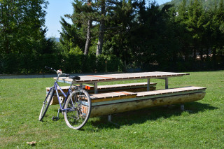
- Picnic area
- Parking :
- Car park
- Coach parking
Presentation
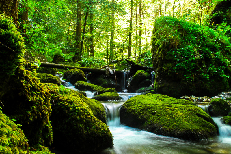
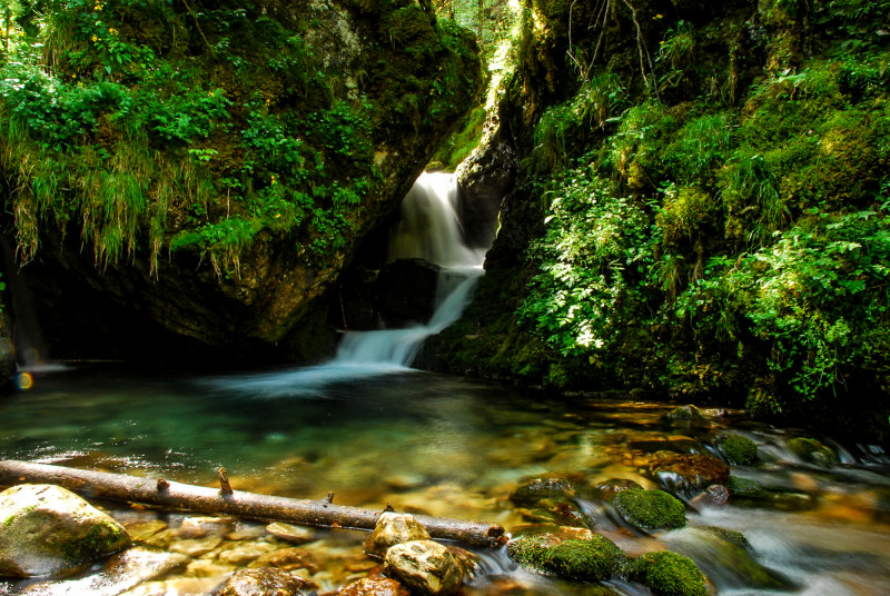
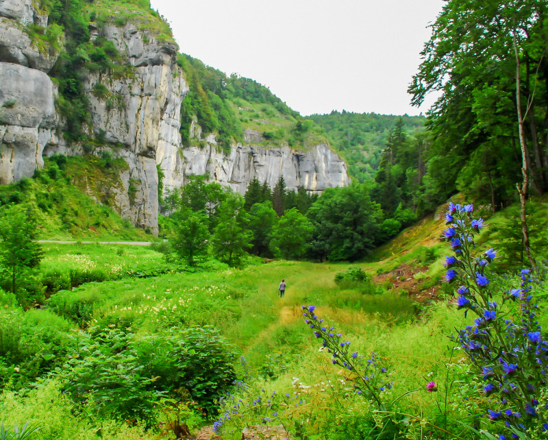
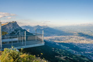
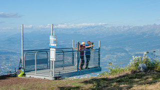
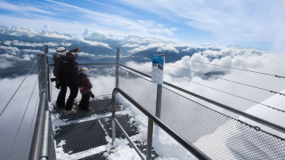
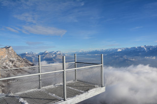
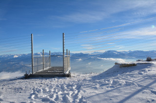
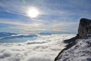
A half-day walk with a section along a stream and waterfalls, a listed natural site since 1977. There are beautiful views from the Bec de l'Aigle.
Pics
Pics
We also suggest...
Lans-en-Vercors
+33 4 76 95 42 62
+33 4 76 95 43 04
Lans-en-Vercors
-
- Itinéraire de Randonnée Pédestre
- Itinéraire Vélo à Assistance Électrique
-
- Daily duration (minutes) 0
- Route 32
- Distance (km) 14.6
- Route 72

