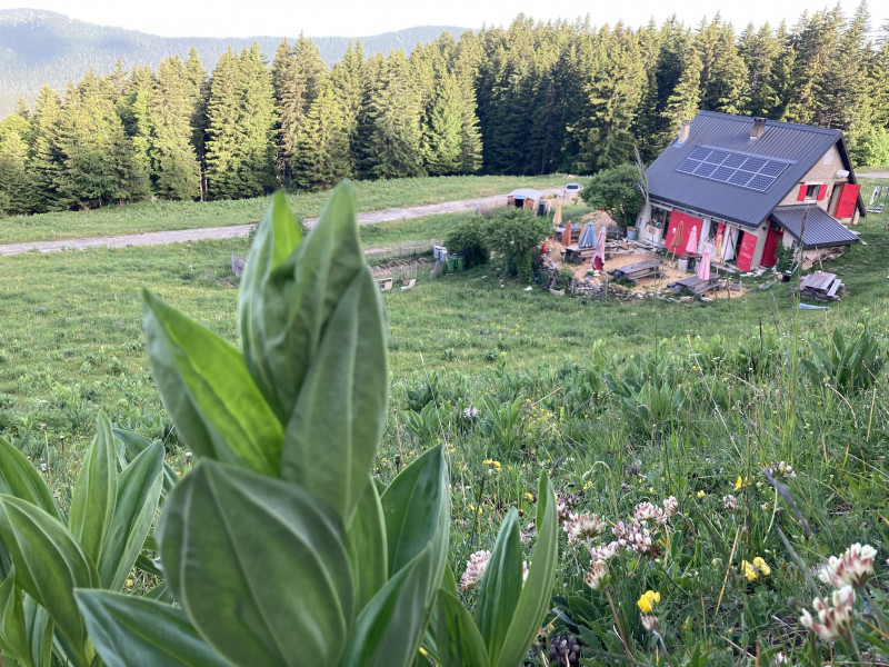
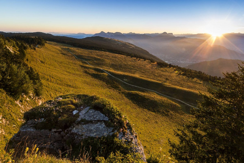
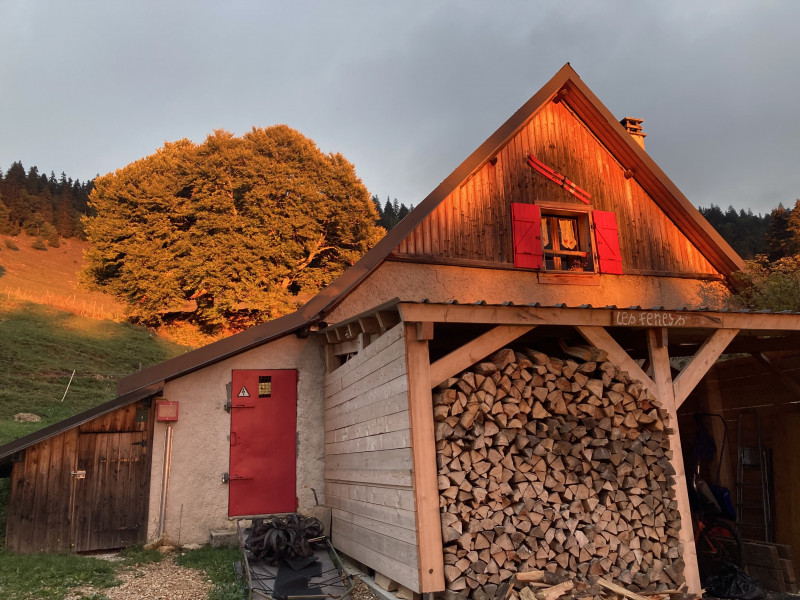
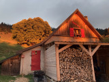
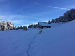
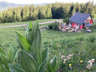
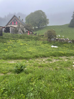
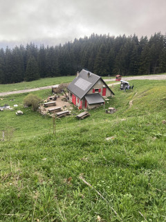
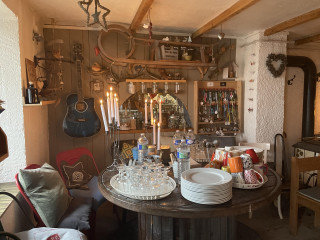
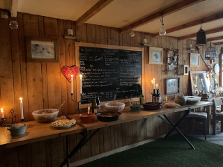
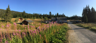
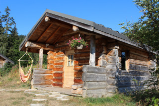
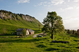
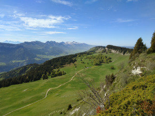
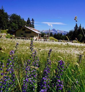
Coucher de soleil au refuge des Feneys

  • Itinéraire de Randonnée Pédestre
  • Level bue - easy
Autrans
In brief
  • Level bue - easy
    Level bue - easy
  • Elevation (m) 655
  • Distance (km) 15
Array
Autrans

Map

- Departure/Arrival
- Point of interest
Information
Coucher de soleil au refuge des Feneys
Autrans
38880
Autrans-Méaudre en Vercors
mail / message
FICHE_INFO_SIMPLE_ECRIRE_MESSAGE
Fields with an asterisk * must not be left blank
My request
Your Contact Details
In accordance with Law No. 78-17 of 6 January 1978 of the National Committee for Information Technology and Civil Liberties (CNIL) with regard to computing, files and liberties (article 36), the interested party is entitled to ask for his/her personal information to be rectified, completed, clarified, updated or deleted if it is inaccurate, incomplete, ambiguous, elapsed or in respect of which it is forbidden to use, disseminate or store said information. Should you wish to exercise this right, please specify the fact in the form above.
General information
  • Environnements :
    • Forest location
    • Mountain location
  • Natures terrain :
    • Ground
  • Period :
    • Spring
    • Summer
    • Autumn
  • Restaurants :
    • Restaurant
  • Pedestrian sports :
    • Hiking itinerary
    • Pedestrian sports
  • Localisation :
    • Autrans
Facilities, Services
  • Parking :
    • Car park
    • Free car park

Presentation

From 01/05 to 30/09.

Pics

Pics

img_5911.jpgimage.pngimg_4756.jpgimg_6175.jpgimg_4902.jpg
We also suggest...
  • Refuge des Feneys
Autrans-Méaudre en Vercors
  • Animaux admis
  • Refuge des Feneys
  • IMG_9823.jpeg
  • IMG_9821.jpeg
  • IMG_9504.jpeg
  • IMG_9138.jpeg
  • IMG_7143.jpeg
  • Casseroles
Autrans-Méaudre en Vercors
+33 6 27 39 00 87
  • Vente à emporter
  • Animaux admis
  • L e plateau de Gève et son refuge
  • refuge_de_geve_inspiration_vercors_5.jpg
    • Itinéraire de Randonnée Pédestre
    • Elevation (m) 197
    • Distance (km) 10
  • la_moliere_engins_autrans_pierre_lonchampt_2025_jpg_redim.jpg
  • gite_d_alpage_de_la_moliere_4.jpg
  • p_20200508_101859.jpg
    • Itinéraire de Randonnée Pédestre
    • Elevation (m) 577
    • Distance (km) 15
  • refuge_des_narce.jpg
  • 20200908_161302.jpg
  • image.jpg
  • image_1.jpg
    • Itinéraire de Randonnée Pédestre
    • Elevation (m) 505
    • Distance (km) 9