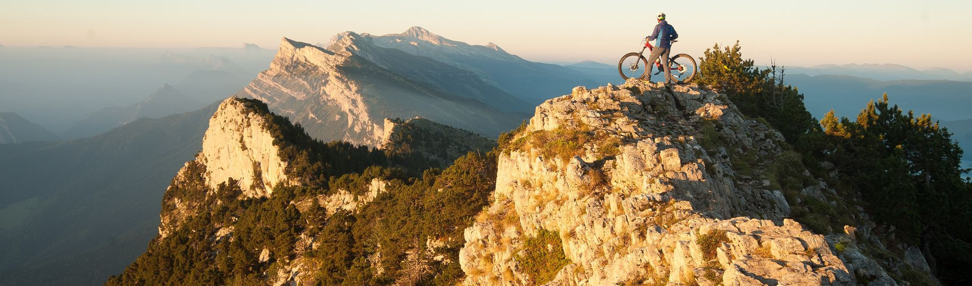
Itinéraire VTT(AE) / X-Country - Croix Servagnet n°75
- Itinéraire de VTT
- Itinéraire Vélo à Assistance Électrique
In brief
- Level red – hard

- Daily duration (minutes) 135
- Route 451
- Distance (km) 16.5
Information
Itinéraire VTT(AE) / X-Country - Croix Servagnet n°75
Parking de l'Aigle
Route de l'Aigle
38250
Lans-en-Vercors
Phone : +33 4 76 95 42 62
General information
- Cycle sports :
- Cycling sports
- Mountain biking itinerary
- Cycle sports
- Localisation :
- Lans-en-Vercors
Pics
Pics