Via Vercors
- Itinéraire de Randonnée Pédestre
In brief
- Route 180
- Distance (km) 50
Lans-en-Vercors
 Departure/Arrival
 Point of interest
4 existing segments:
From Saint Nizier du Moucherotte to Lans en Vercors (and way back)
From Lans en Vercors to Villard de Lans (and way back)
From Villard de Lans à Corrençon en Vercors (and way back)
From Méaudre to Autrans (and way back).
Starting point in the villages' center
From Saint Nizier du Moucherotte to Lans en Vercors (and way back)
From Lans en Vercors to Villard de Lans (and way back)
From Villard de Lans à Corrençon en Vercors (and way back)
From Méaudre to Autrans (and way back).
Starting point in the villages' center
General information
- Environnements :
- In the country
- Village centre
- Mountain location
- Village 2 km away
- Passages delicats :
- Niveaux de difficultés de 1 à 4
- Period :
- Open year round
- Winter
- Spring
- Summer
- Autumn
- Various sports :
- Miscellaneous sports
- Greenway
- Pedestrian sports :
- Hiking itinerary
- Pedestrian sports
- Localisation :
- Lans-en-Vercors
Facilities, Services
- Bathroom/toilets :
- Public WC
Accessibility
- Accessibility criteria for people with reduced mobility :
- Accessible for wheelchairs with assistance
Presentation
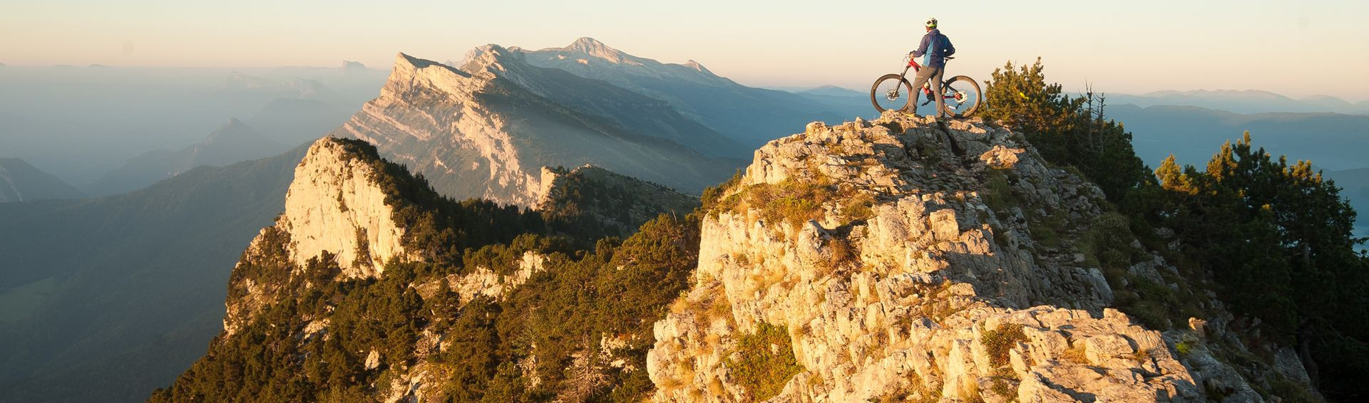
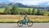
The ViaVercors is the mountain’s first Voie Douce and has a discovery route of almost 50km. Located in the Vercors Regional Nature Park, it links the villages of the plateau to form an intercommunal link for ecomobility.
All year round daily.
Download
Photos
Photos


We also suggest...


Lans-en-Vercors
+33 4 76 95 42 62