Orienteering route
In our villages, there are permanent orienteering routes.
Don’t hesitate to try out this sporty version of a treasure hunt!
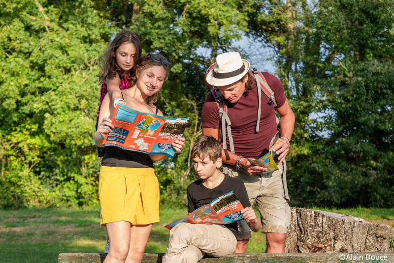
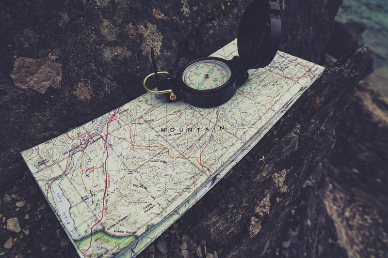
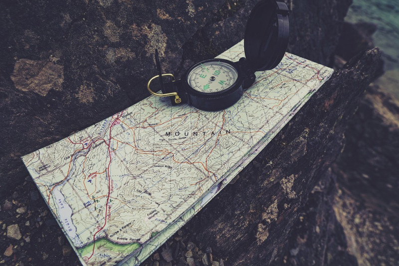
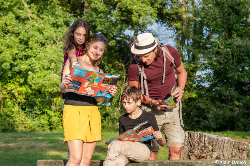
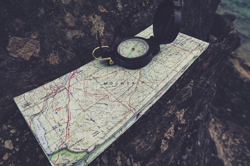
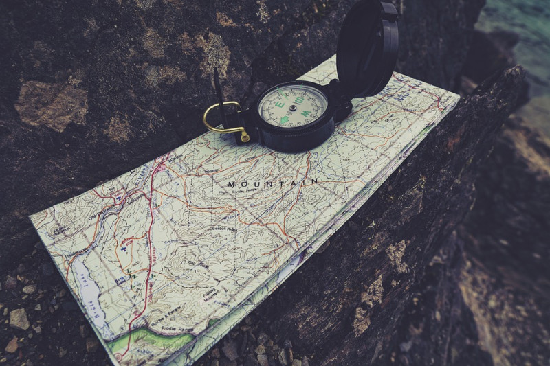
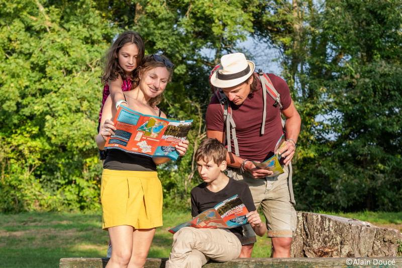
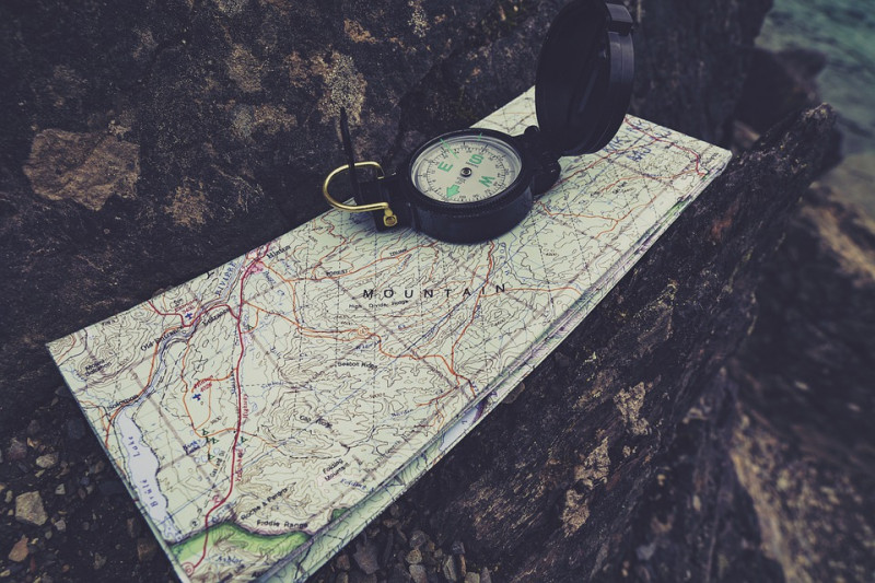
The goal of orienteering is to find your way thanks to natural and artificial items (an isolated tree, rock, bench, sign) to find the control points shown on the map with a green circle and a number.
The departure point is shown on the map with a red triangle.
You have to find the various points in a specific order, however you are free to choose your path to reach this goal.
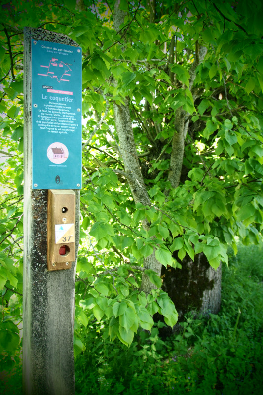
Each time you find a control point, stamp your card using the red stamp attached to the wooden post.
Along the trail, check that the icons on your guide match the stamps at each control point.
Always confirm your position by identifying the things you can see around you on the card: buildings, roads, plants, signs, junctions...
Once you’ve stamped the last control point on your route, head back to the departure point to end your loop.
Orienteers, it’s over to you!
During the school holidays, the Méaudre cross-country skiing centre offers introductions to orienteering. Find out more at the tourist office.
Recommendations:
Each participant must estimate their own ability to complete an orienteering activity in this destination.
- Be discreet, people live and work here.
- Stay on the routes, do not cut across fields.
- Respect the parking areas and regulations.
- Take your rubbish with you, don’t leave anything in nature.
Lans-en-Vercors
-
- Itinéraire de Randonnée Pédestre
-
- Daily duration (minutes) 75
- Route 50
- Distance (km) 3.5
- Route 50
-
- Itinéraire de Randonnée Pédestre
-
- Daily duration (minutes) 150
- Route 250
- Distance (km) 5
-
- Itinéraire de Randonnée Pédestre
-
- Daily duration (minutes) 45
- Route 65
- Distance (km) 1.5
-
- Itinéraire de Randonnée Pédestre
-
- Daily duration (minutes) 75
- Distance (km) 3.5
-
- Itinéraire de Randonnée Pédestre
-
- Daily duration (minutes) 75
- Distance (km) 3.5
Lans-en-Vercors
-
- Itinéraire de Randonnée Pédestre
-
- Daily duration (minutes) 75
- Route 20
- Distance (km) 1
Saint-Nizier-du-Moucherotte
-
- Itinéraire de Randonnée Pédestre
-
- Daily duration (minutes) 60
- Distance (km) 3
Méaudre
-
- Itinéraire de Randonnée Pédestre
-
- Daily duration (minutes) 60
- Route 65
- Distance (km) 2
-
- Itinéraire de Randonnée Pédestre
-
- Daily duration (minutes) 90
- Route 200
- Distance (km) 2.6
Saint-Nizier-du-Moucherotte
-
- Itinéraire de Randonnée Pédestre
-
- Daily duration (minutes) 60
- Distance (km) 3
-
- Itinéraire de Randonnée Pédestre
-
- Daily duration (minutes) 150
- Route 250
- Distance (km) 5
Saint-Nizier-du-Moucherotte
-
- Itinéraire de Randonnée Pédestre
-
- Daily duration (minutes) 90
- Distance (km) 5

