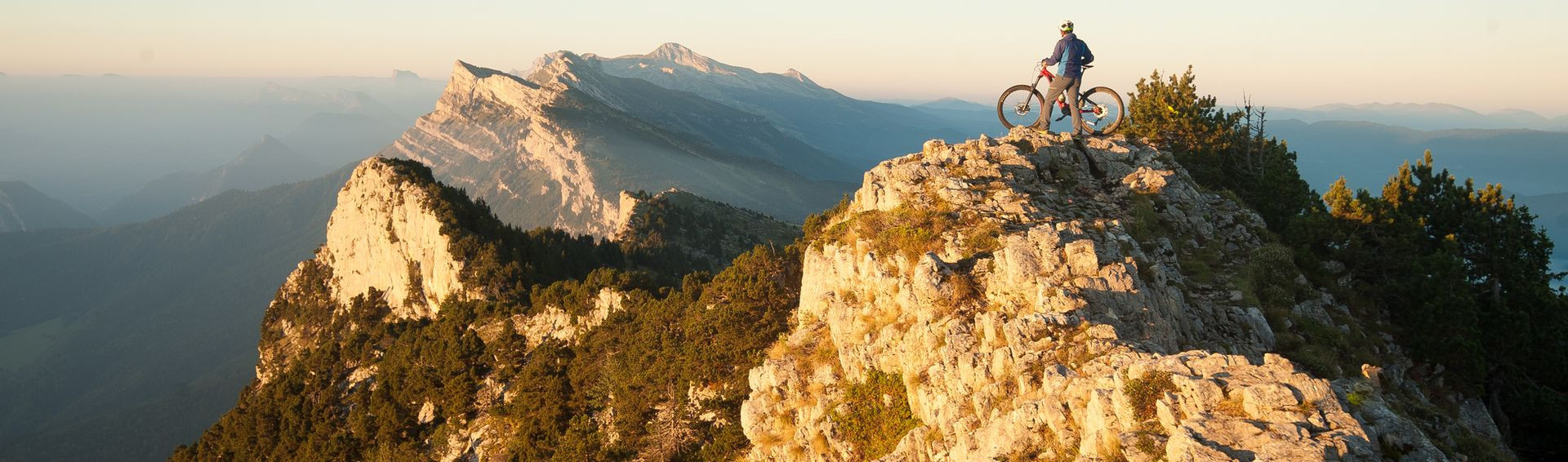
The Via Vercors
The ‘Vercors 4 Mountains’ is at an altitude of 1,000 metres and this is where you’ll find the Via Vercors, a greenway route reserved for non-motorised vehicles and walkers, without too many steep sections.
The Vercors Massif community of municipalities, together with the town councils, decided to create a project in line with the region’s environmental policy, the goal of which was: To encourage eco-friendly modes of transport by creating a greenway route (no motorised vehicles allowed) that is accessible to everyone!
The Vercors Massif community of municipalities, together with the town councils, decided to create a project in line with the region’s environmental policy, the goal of which was: To encourage eco-friendly modes of transport by creating a greenway route (no motorised vehicles allowed) that is accessible to everyone!
A mountain greenway route that is accessible to all.
The VIA VERCORS was created in 2012 and has been improved each season: rural paths created to allow both locals and visitors to the area, whether on foot, by bike, sporty or contemplative, to use a path that would lead them from village to village.


-
- Itinéraire Vélo à Assistance Électrique
-
- Daily duration (minutes) 80
- Route 260
- Distance (km) 18.7
- Route 260


Lans-en-Vercors
-
- Itinéraire de Randonnée Pédestre
-
- Route 180
- Distance (km) 50


-
- Itinéraire Vélo à Assistance Électrique
-
- Daily duration (minutes) 80
- Route 260
- Distance (km) 18.7
- Route 260


-
- Itinéraire de Randonnée Pédestre
-
- Daily duration (minutes) 240
- Route 260
- Distance (km) 18.7
- Route 260


Lans-en-Vercors

-
- Itinéraire de Randonnée Pédestre
- Itinéraire Vélo à Assistance Électrique
-
- Daily duration (minutes) 0
- Route 32
- Distance (km) 14.6
- Route 72


-
- Itinéraire de Randonnée Pédestre
-
- Daily duration (minutes) 180
- Route 260
- Distance (km) 18.7
- Route 260


-
- Itinéraire de Randonnée Pédestre
- Itinéraire Vélo à Assistance Électrique
-
- Daily duration (minutes) 0
- Route 111
- Distance (km) 17
- Route 265