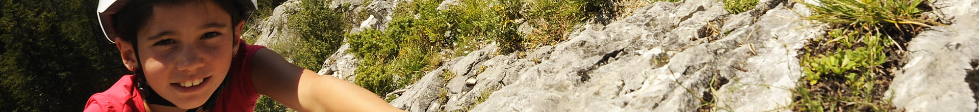
Saint Nizier Aventure
Saint-Nizier-du-Moucherotte


Presentation
From 04/04 to 31/10, daily.
Service provider contact details
Saint Nizier Aventure
Mob : +33 6 89 91 10 92
Location
Saint Nizier Aventure
Chemin du Mollarout
38250
Saint-Nizier-du-Moucherotte
- Reception :


General information
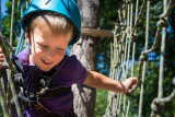
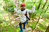
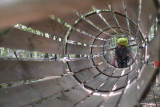
- Climbing sports :
- Climbing sports
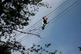
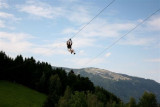
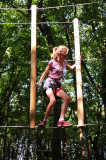
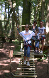
- Adventure trail / Accrobranche® (tree top adventure trails)
- Types :
- Sporting activities
- Villes :
- Saint-Nizier-du-Moucherotte
- VillageDeDepart :
- Saint-Nizier-du-Moucherotte
Things to note
- Environment :
- Forest location
- Mountain location
- Isolated
Prices
- Method of payment :


Destination
Saint Nizier Aventure
Chemin du Mollarout
38250
Saint-Nizier-du-Moucherotte
GPS coordinates
Latitude : 45.165409
Longitude : 5.629372
We also suggest...


Saint-Nizier-du-Moucherotte
+33 6 89 91 10 92


Saint-Nizier-du-Moucherotte
+33 6 89 91 10 92